Mission critical visual situational awareness in times of disasters
Last year, it is estimated that economic losses from global disasters reached $306 billion, making 2017 one of the costliest years for natural and man-made disasters.
As more people are at risk of extreme weather events, including hurricanes, wildfires, flooding and landslides, there is a growing need for better emergency communications to help first responders and other key decisionmakers act quickly to help more save lives and limit fallout.
The good news is that a new visual situational awareness tool called ASIGN Interactive Communication is helping improve communications systems when disasters strike. ASIGN improves situational awareness, making actionable intelligence available faster and supporting decision-making at all levels.
The need for visual situational awareness
When lives are at stake, deciding the right actions fast is essential. In order to make those decisions, first responders need vital information on what happens, when and where. Relevant data must be captured at affected sites in the field, and communicated, analysed, and understood by decision-makers at operational and tactical levels, wherever they are.
But often in times of disaster, vital communication networks are down and both capturing and conveying this critical visual information is difficult.
Communication of high-definition photos and video clips requires plenty of bandwidth. Yet during critical situations, such as those that United Nations addresses, one cannot rely on plentiful broadband connectivity.
How ASIGN works
Indeed, communication of high-resolution visual data with low bandwidth is a fundamental problem and new technology ASIGN software aims to address this challenge.
ASIGN is designed around a 3-level communication model, taking into account the Semantic (content) and Impact (effect) levels. ASIGN allows users to focus communications network capacity on content with operational effect.
ASIGN has two main elements: ASIGN Field Communicator (AFC) and an ASIGN Online Server and Web Portal.
The proprietary interactive ASIGN protocol (GR4-COMS) lets field users reliably send initial visual information, from which the receiver side can pull operationally relevant content in desired precision, and see full image quality. This will save substantial bandwidth, lower operational costs, lower network load and lower the delay of receiving and acting upon the information.
ASIGN is optimized for satellite and mobile satellite communications networks, with potentially low capacity in order to be working anywhere, anytime. There is also an offline mode.
The ASIGN Software Solutions presented by United Nations
The ASIGN Server is hosted in the Internet cloud, or in a private, closed network. For the UN, it is hosted at CERN, where the World Wide Web (WWW) was invented. Via Web interface, analysts do an initial assessment of relevance and, as needed, get regions of interest in desired quality for further analysis, or, request more input from field users. The geospatial ASIGN data can be integrated with GIS and mapping systems. Decisions can be shared via several output capabilities.
Over 30 organizations and projects are registered on the UN ASIGN server, including several UN agencies. ASIGN is actively promoted by UNOSAT as a trustworthy and reliable crowd-sourcing tool.
If users are encouraged to capture and send photos and videos, we need to make sure that this process does not contribute to congesting communication networks in times of disaster.
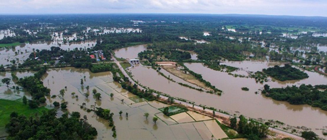
During the Thailand floods in 2011, and after the earthquake in Nepal in 2015, online live maps were produced by UNOSAT with satellite images and crowdsourced ASIGN images.
ASIGN’s different apps work for professional users, crowdsourcing and unmanned aerial vehicle (UAV) pilots. ASIGN can also run on PC, and in embedded platforms, e.g. integrated in larger drones with on-board satellite communication.

In addition to UN Agencies, ASIGN is used by professional disaster management experts working with the European Union Civil Protection training, exercises and missions. It is delivered for Search and Rescue and disaster management to Africa (IGAD) and Asia (Indonesia and Philippines). This is very much a function of UN using it.
ASIGN is developed in the context of the Sendai DRR Framework. With UNOSAT, AnsuR had a successful European Space Agency (ESA) project called Urban Disaster Risk Reduction, where a UAV pilot was flying a drone in Sri Lanka while the expert at UNOSAT in Geneva was guiding the pilot through assessment of the photos in a map.
With the new capabilities offered by ASIGN, we hope and expect this visual situational awareness tool will help decision makers make better decisions faster, and contribute to saving more lives.
Featured Photo STR/AFP/Getty Images

Dr. Harald Skinnemoen, CEO and Founder, AnsuR Technologies