Giga: Connecting schools to the Internet
Closing the digital divide in education has been a persistent challenge for over a generation. As technology advances at a breakneck pace, however, connecting all schools to digital resources has become crucial.
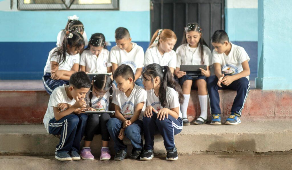
About half the world’s schools are still without an Internet connection − a gap that puts disadvantaged communities at risk of falling further behind and deters progress on many of the Sustainable Development Goals set by the United Nations for 2030.
This week’s Giga Connectivity Forum brings together the initiative’s country partners and stakeholders to chart a course for universal school connectivity by 2030.
Follow the webcast on Tuesday, 9 July (09:00 to 12:35 CEST).
Governments increasingly see the Internet as a commodity no less basic to community infrastructure than roads and clean drinking water. Yet getting schools connected remains a major challenge, especially in hard-to-reach and remote areas.
Giga, an initiative launched by the International Telecommunication Union (ITU) and the United Nations Children’s Fund (UNICEF) in 2019, aims to connect every school in the world to the Internet by 2030. Technology, infrastructure, finance and regulation all play a part in the process.
Giga Maps
The primary tool in the Giga arsenal is open-source mapping, conducted in cooperation with governments to find and assess gaps in school connectivity. Giga’s former Project Connect produced the first iterations
Now, Giga has launched an upgraded version, Giga Maps: a live, open-source platform to geolocate schools and measure their real-time connectivity status.
Since governments may lack comprehensive and accurate school location data, Giga fills in the gaps by analysing satellite imagery using artificial intelligence (AI) and machine learning. When this is paired with Giga’s real-time connectivity monitoring app, a complete digital snapshot of each school emerges.
On Giga Maps, every school is shown as a dot. Green signifies adequate connectivity, yellow minimal connectivity, and red no connectivity. Today the platform registers more than 350,000 dots, of which 250,000 are green and 95,000 are different colors that capture live connectivity status.
The new platform has added school search, filter and share features. It also includes more connectivity data layers for deeper analysis, including download speed, latency, infrastructure, and cellular coverage.
The result is what Chris Fabian, Giga’s UNICEF co-lead, calls “a public good, a data base of education that didn’t exist before.”
A decision-making tool
As a platform, it is not just a repository of information, but more importantly, a tool to help governments make effective connectivity decisions.
Tech and government representatives from Bosnia and Herzegovina, Botswana and Sierra Leone recently got a hands-on look at Giga Maps in a five-day workshop at the Giga Technology Centre in Spain’s city of Barcelona. As the inaugural cohort for Giga’s Government Exchange Technology Programme (GETP), the visitors learned about Giga Maps and related open-source products, while sharing insights into the unique requirements of different countries.
Knowing how Giga Maps and connectivity monitoring is working — or will soon be working — will help the Giga team improve those products for wider use.
Countries putting Giga Maps to use
Lois Ngope, Director of Botswana’s Ministry of Education and Skills Development, said her country has mapped all its schools and now utilizes Giga’s real-time monitoring app to address disruptions. A new feature under development will send alerts when service is dropping. “That’s an app I’m excited about exploring,” she said.
Vlatko Drmic, Deputy Minister at Bosnia and Herzegovina’s Ministry of Communications and Transport, said his country would employ Giga Maps to monitor service quality. Such information could help “negotiate better prices for Internet packages for schools.”
Abubakarr Kallon, Policy Lead and Project Coordinator at Sierra Leone’s Directorate of Science, Technology and Innovation, said Giga Maps will be a key planning tool. “Getting real-time data, policy and resource allocations will facilitate development,” he noted.
Giga’s Tech Centre in Barcelona
The Tech Centre in Barcelona hosts a growing team of data scientists and engineers, who are working on Giga’s open-source technology solutions to help governments connect schools to the Internet affordably and sustainably.
The centre is establishing itself as “an interactive home for the global community to come together to explore the role of technology and school connectivity,” said ITU’s Alex Wong, Giga’s co-lead.
Explore Giga’s 2023 annual report.
This story is part of an upcoming magazine edition on ITU’s Digital Infrastructure Investment Initiative.
Header image credit: Giga