Earth exploration-satellite services in Latin America and the Caribbean

Tarcísio Bakaus, Vice-Chairman, ITU–R Working Party 7C
(Remote sensing systems), and Coordinator of International Spectrum and
Orbit Management (Spectrum, Orbit and Broadcasting Division),
Brazilian National Telecommunications Agency (Anatel)
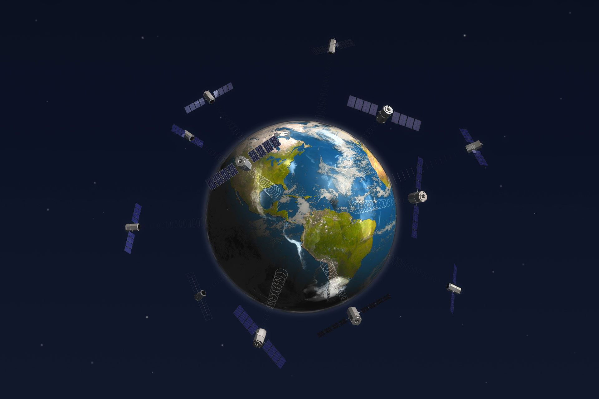
The Earth exploration-satellite service (EESS) is a radiocommunication service between ground and space stations that obtains data from sensors on Earth-observation satellites and other platforms.
This service enables the provision of information about the Earth’s characteristics, environment, and natural phenomena. It also supports environmental and climate monitoring, disaster management, agriculture, water management, natural resource exploration and various other purposes.
Latin American and Caribbean countries have made significant progress in Earth observation using EESS, thanks in part to international partnerships and specific programmes tailored to the needs of developing countries.
Argentina
The Satellite for Scientific Applications‑D (SAC‑D) was launched in 2011 in cooperation with the US National Aeronautics and Space Administration (NASA). The SAOCOM (Argentine Microwave On Observation Satellite) series saw launches in 2018 and 2020. Both programmes have provided extensive insights into oceanic processes, in addition to monitoring agriculture, soil moisture, and floods.
An upcoming dual-satellite joint Earth-observation project between Argentina and Brazil known as SABIA‑Mar (Argentine-Brazilian Satellites for Environmental Information of the Sea) aims to combine oceanic data to gain a better understanding of the regional seas.
Brazil
The region’s largest country currently operates multiple Earth-observation satellites. The China-Brazil Earth Resources Satellite (CBERS) series and the SCD (Data Collection Satellite) constellation, with launches initiated in 1999, and the Amazonia‑1 satellite launched in 2021 under the International Disasters Charter, collect data on deforestation, urbanization, and agricultural activities. These satellites play a crucial role in understanding and preserving Brazil’s natural resources, as well as in monitoring natural disasters and supporting regional monitoring activities.
Mexico
The Mexican Climate and Atmospheric Composition Observatory (OMECCA) satellite launched in 2022 and AzTechSat‑1, launched in 2019 in cooperation with NASA, have created new possibilities in the realm of Earth observation for the country. These projects offer immense potential to enhance agriculture, disaster management, and security and surveillance capacity, along with supporting climate change studies, urban intelligence, and mapping.
Other Latin American initiative
Prominent initiatives from Chile (FASat‑Charlie Satellite, 2011), Bolivia (Túpac Katari‑1, or TKSat‑1, jointly with China, 2013), Uruguay (AntelSat, 2014), Peru (PerúSAT‑1, 2016), and Colombia (FACSAT‑1, 2018), among others, offer incomparable data acquisition capabilities that strengthen environmental monitoring and management.
Caribbean projects
The Caribbean regional track of the Pilot Programme for Climate Resilience (PPCR), the Caribbean Disaster Emergency Management Agency (CDEMA), and the Caribbean Institute for Meteorology and Hydrology (CIMH) all actively contribute to research and development in Earth-observation systems.
Furthermore, collaborations with NASA, the European Space Agency (ESA), the China National Space Administration (CNSA) and other international space organizations have resulted in notable projects in the island region and remain instrumental in driving wider Latin American and Caribbean progress and innovation.
WRC‑23 and next steps
Collaborative solutions, proactive engagement, and technical advancements are key for future Earth observation. Supporting Latin American and Caribbean space and EESS development programmes is, therefore, crucial.
The World Radiocommunication Conference, WRC‑23, in November and December holds the opportunity to shape the future of EESS and ensure progress in various aspects of Earth observation that could support regional development goals.
What to expect for EESS
Approval at WRC‑23 of a new secondary EESS allocation for the 40–50‑megahertz (MHz) radio-frequency band would allow significant advances in subsoil measurement using sound radars, thereby facilitating the detection of water and ice in remote, sparsely-populated regions.
Another goal is to adjust existing or potential new primary frequency allocations to EESS (passive) in the 231.5–252 gigahertz (GHz) range, enabling advancements in climate models that accurately capture the impact of ice clouds on the Earth’s climate and hydrological cycle.
The upcoming conference will also address the critical topic of safeguarding space weather sensors, which are vital in preventing detrimental effects on radiocommunication systems, including radionavigation and aeronautical services. Studies on the topic may be continued, with the aim of completion by WRC‑27 in four years’ time.
Additionally, WRC‑23 will focus on the protection of passive systems in the range of 36–37 GHz for surface measurements, weather forecasting, and research.
Lastly, measures must be established for studying and updating technical and regulatory provisions to ensure the long-term sustainability of space operations.
Cooperation to strengthen space services
The involvement of international bodies is vital to guarantee ongoing satellite services and EESS capabilities and to facilitate their further development. Furthermore, the International Telecommunication Union (ITU) and its Radiocommunication Sector (ITU–R) must be strengthened to ensure continuity in the provision of new allocations and protection for existing operations, as well as to enhance the space sustainability framework.
These actions need to be implemented with the full participation of ITU Member State administrations, ITU Sector Member companies and organizations, and all relevant international and regional bodies. This needs to happen at both the region and global levels.
Developing and maintaining a safe and secure satellite environment requires vigorous cooperation, whether in the Latin American and Caribbean region or globally. The Earth exploration-satellite service and, indeed, the entire telecommunications industry will benefit.
Download your copy of the ITU News Magazine: Science services.
Header image credit: Adobe Stock